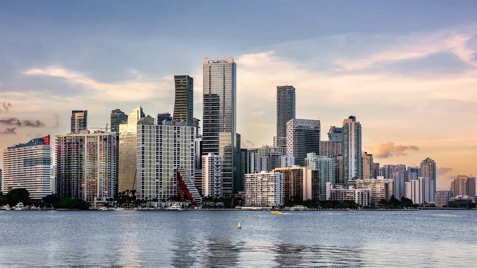
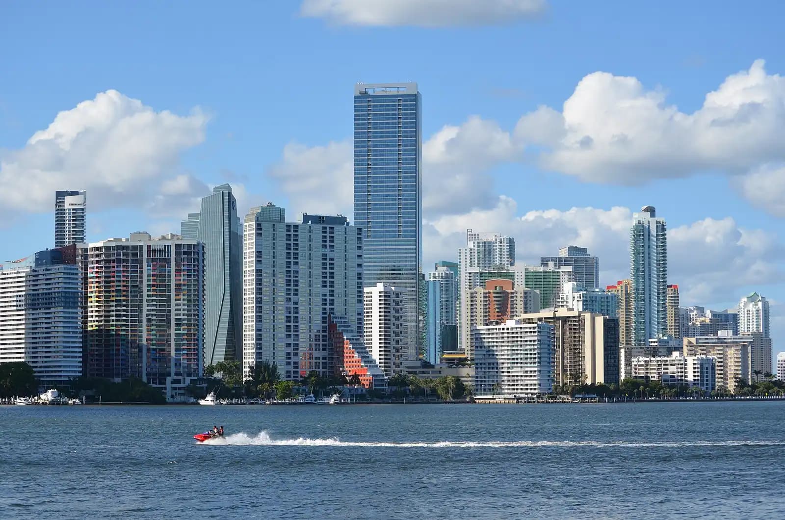
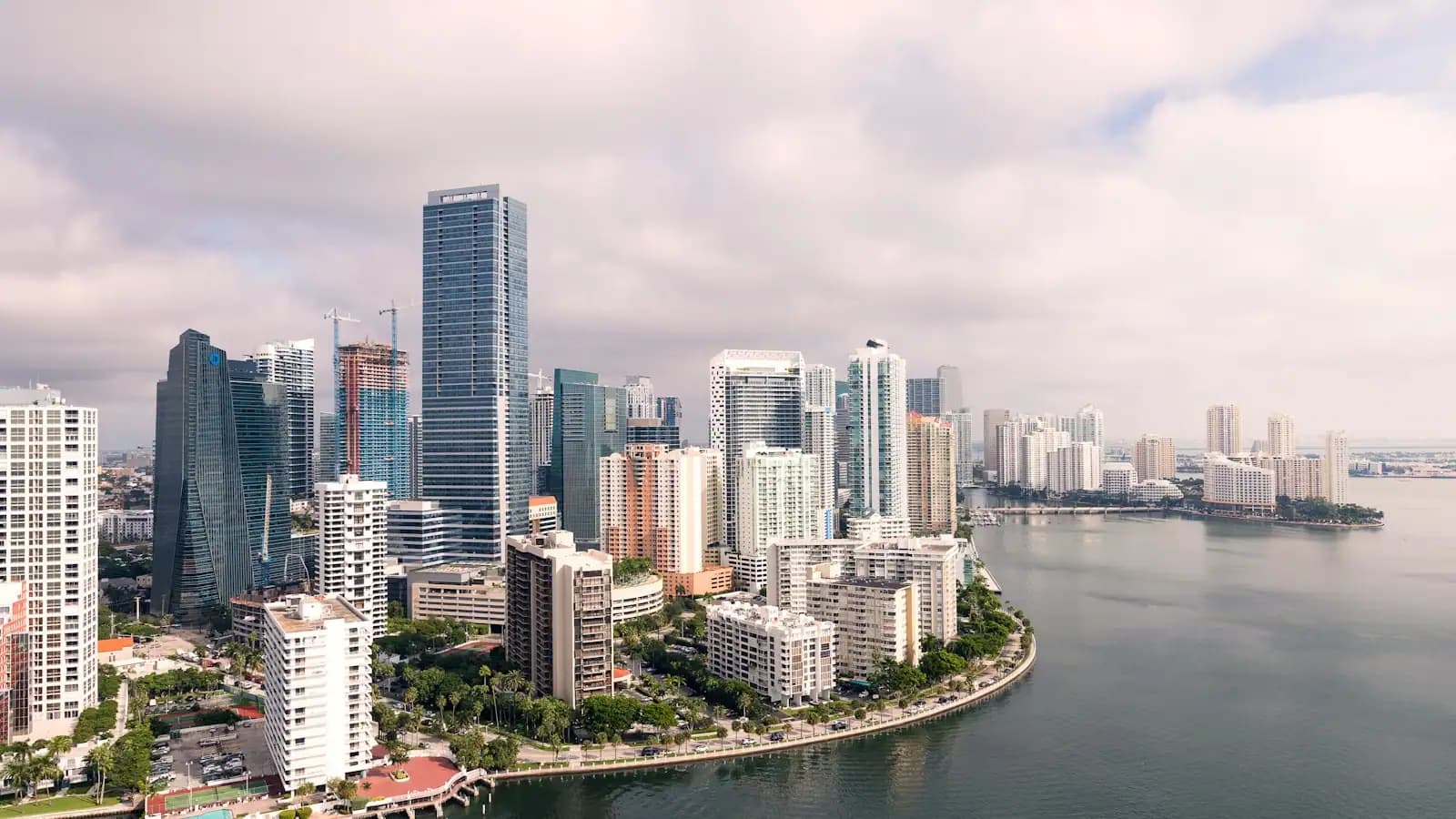
Miami is a small city inside a very large county. Fewer than half a million people live in the City of Miami itself. Around 2.6 million live in Miami-Dade, spread across more than thirty separate municipalities and a long list of unincorporated neighbourhoods. So the word Miami, as visitors use it, almost never means the city on the map. It means a scatter of places strung along Biscayne Bay and the old limestone ridge behind it, and the differences between them are the actual subject of a trip here.
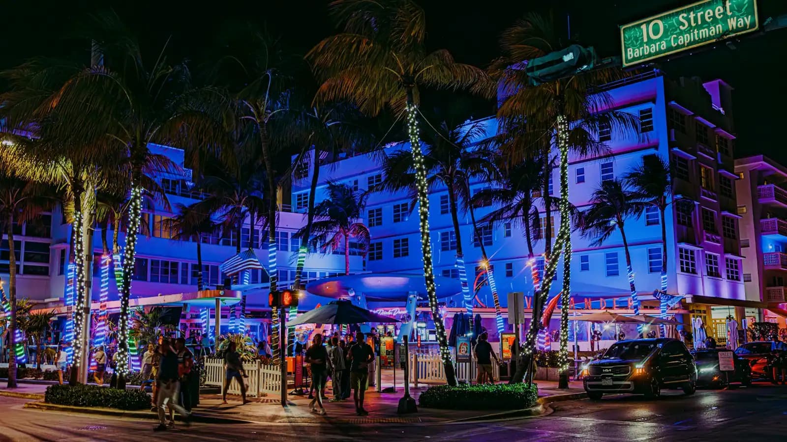
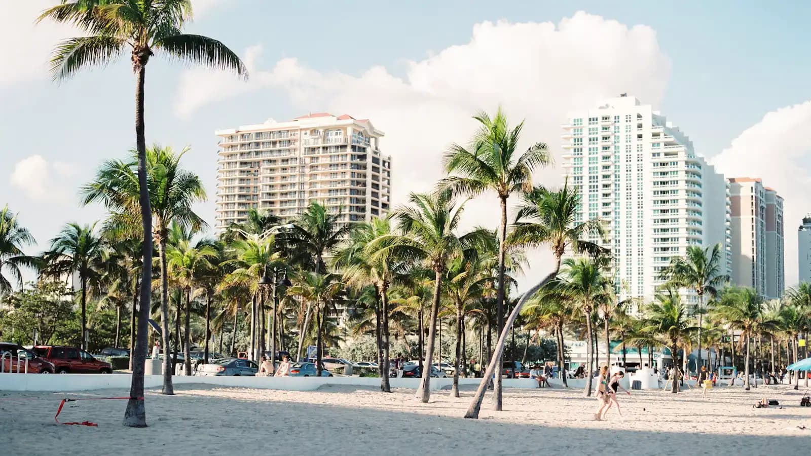
Start with the water. The City of Miami occupies the mainland shore and the City of Miami Beach occupies the barrier island opposite it, and the separation is real rather than administrative trivia: different police department, different parking meters, different alcohol ordinance. South Beach is a neighbourhood of Miami Beach, which is where the Art Deco Historic District and its roughly 800 preserved 1920s to 1940s buildings are. Nothing on this page is in that city unless it says so. Three causeways do the joining, and at six o'clock on a Friday they are the reason a four-mile trip takes forty minutes.
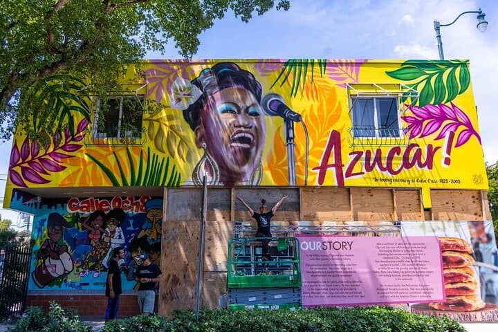
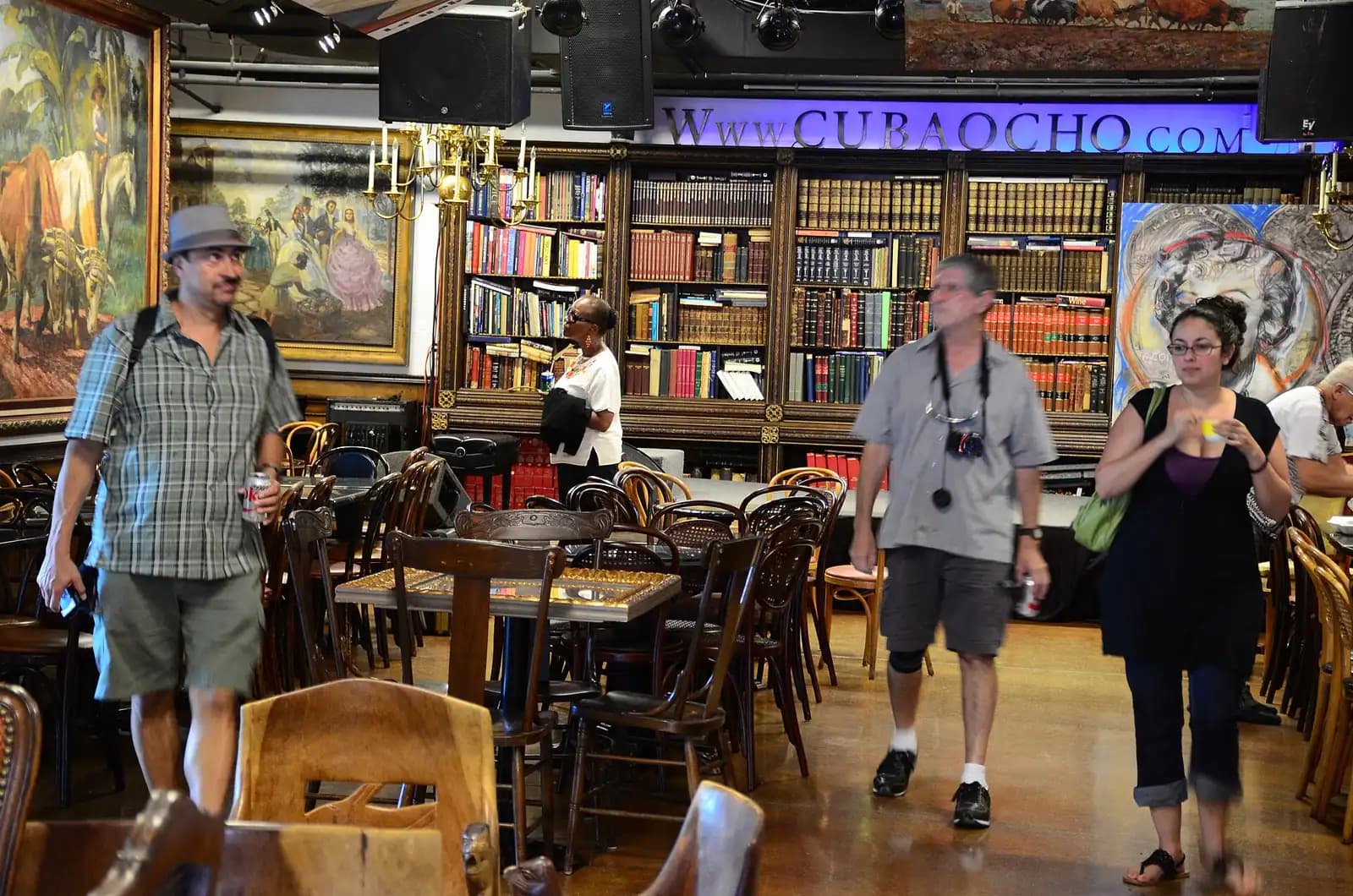
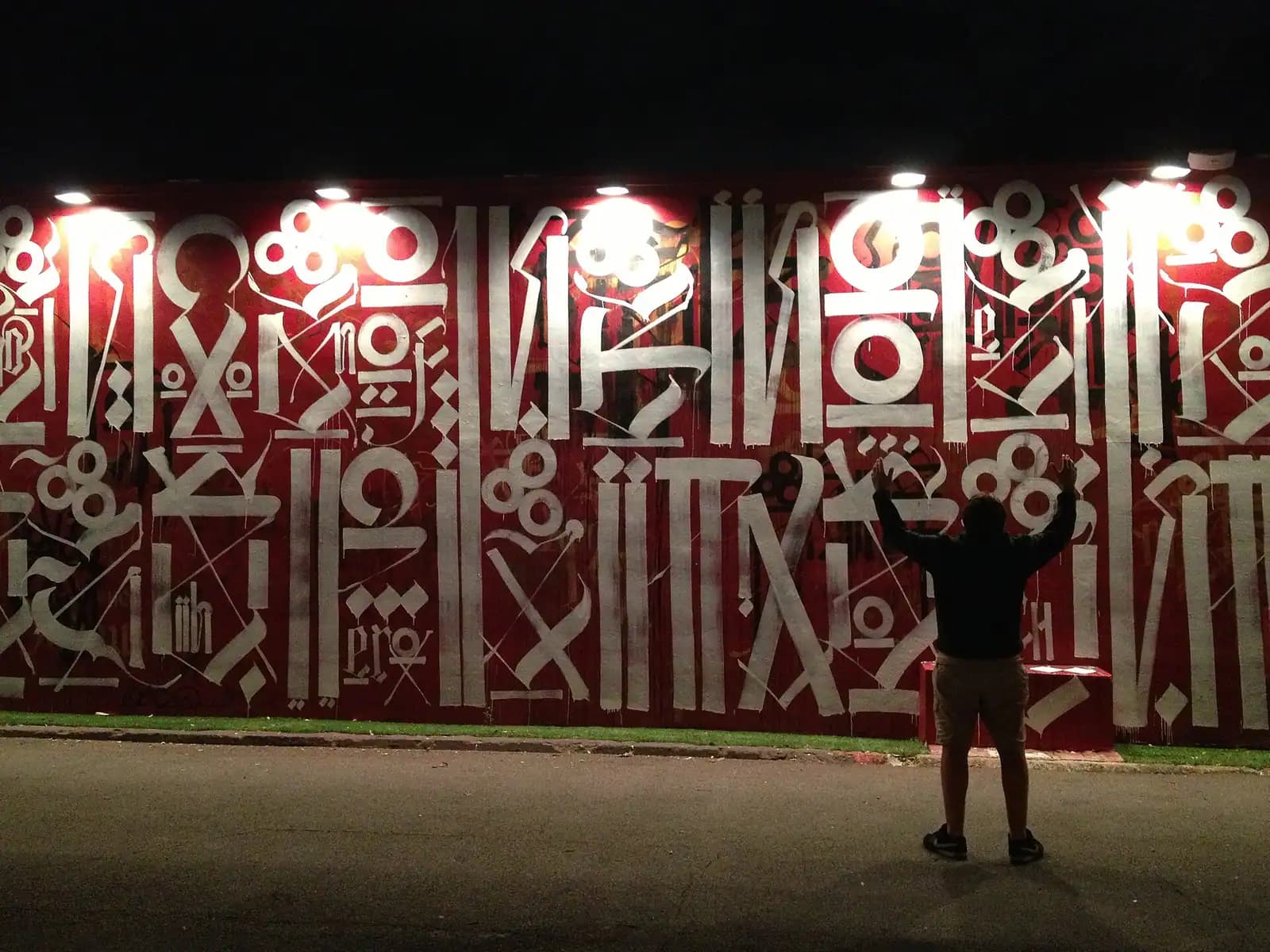
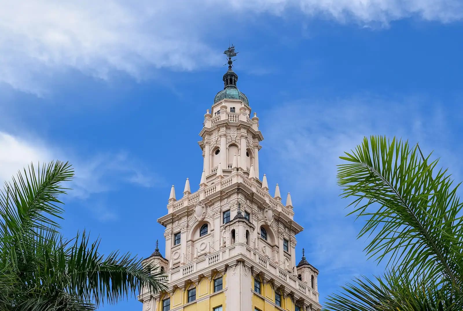
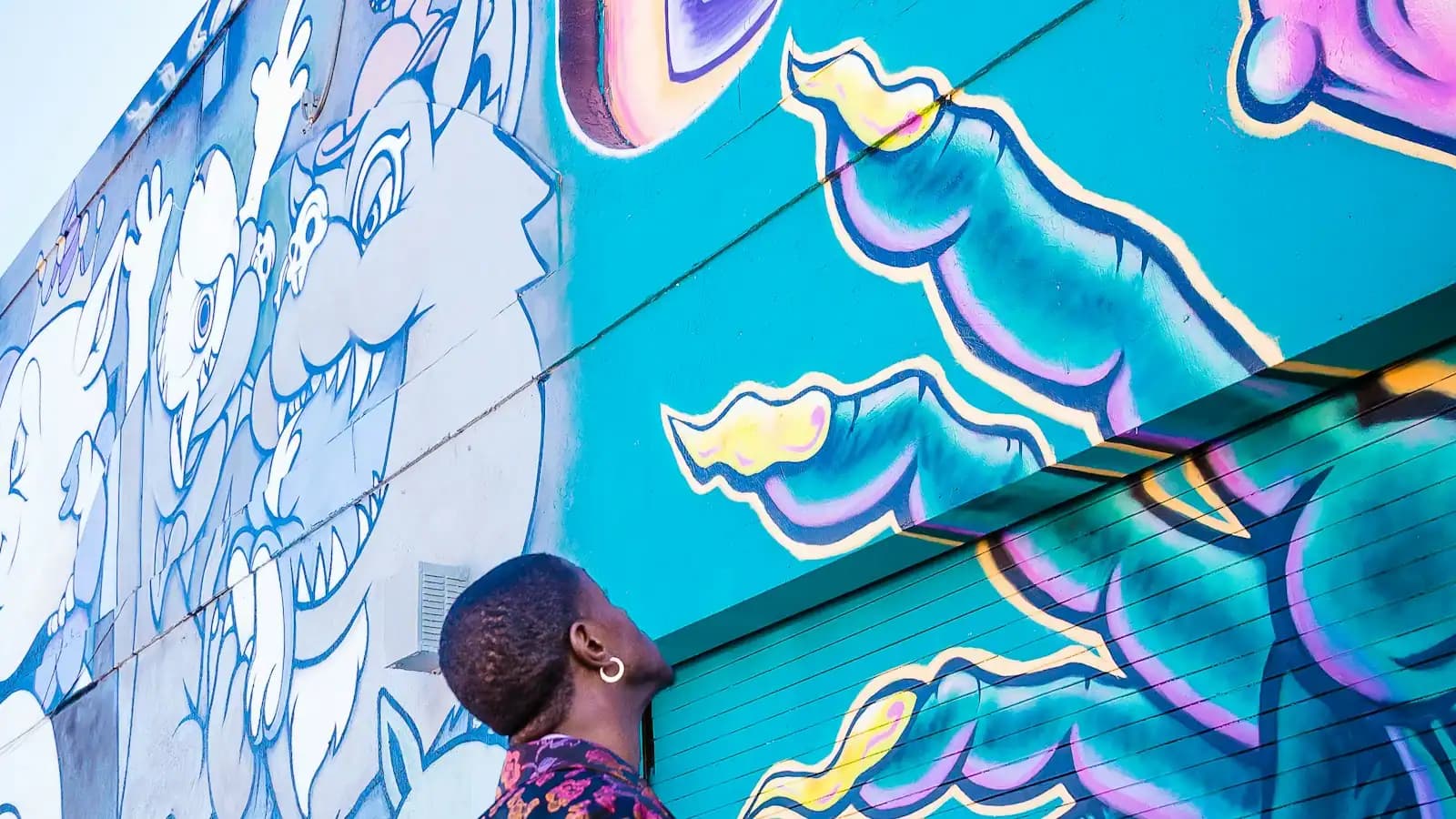
Then the grid, because Miami addresses are unusually informative once you know the trick. The whole system is anchored at Miami Avenue and Flagler Street downtown. Avenues run north to south and count upwards heading west from the bay. Streets run east to west and count upwards heading north or south from Flagler. Every address carries a quadrant, NW, NE, SW or SE, and that quadrant does most of the work. SW 8th Street is Calle Ocho, and if you keep driving west along it, it stops being Little Havana, becomes the Tamiami Trail, and delivers you to the edge of Everglades National Park in under an hour. NW 2nd Avenue is Wynwood's mural spine. Coral Gables opts out of the whole system: its streets carry Spanish names cut into small white stone markers at ground level, which is charming in daylight and genuinely difficult after dark.
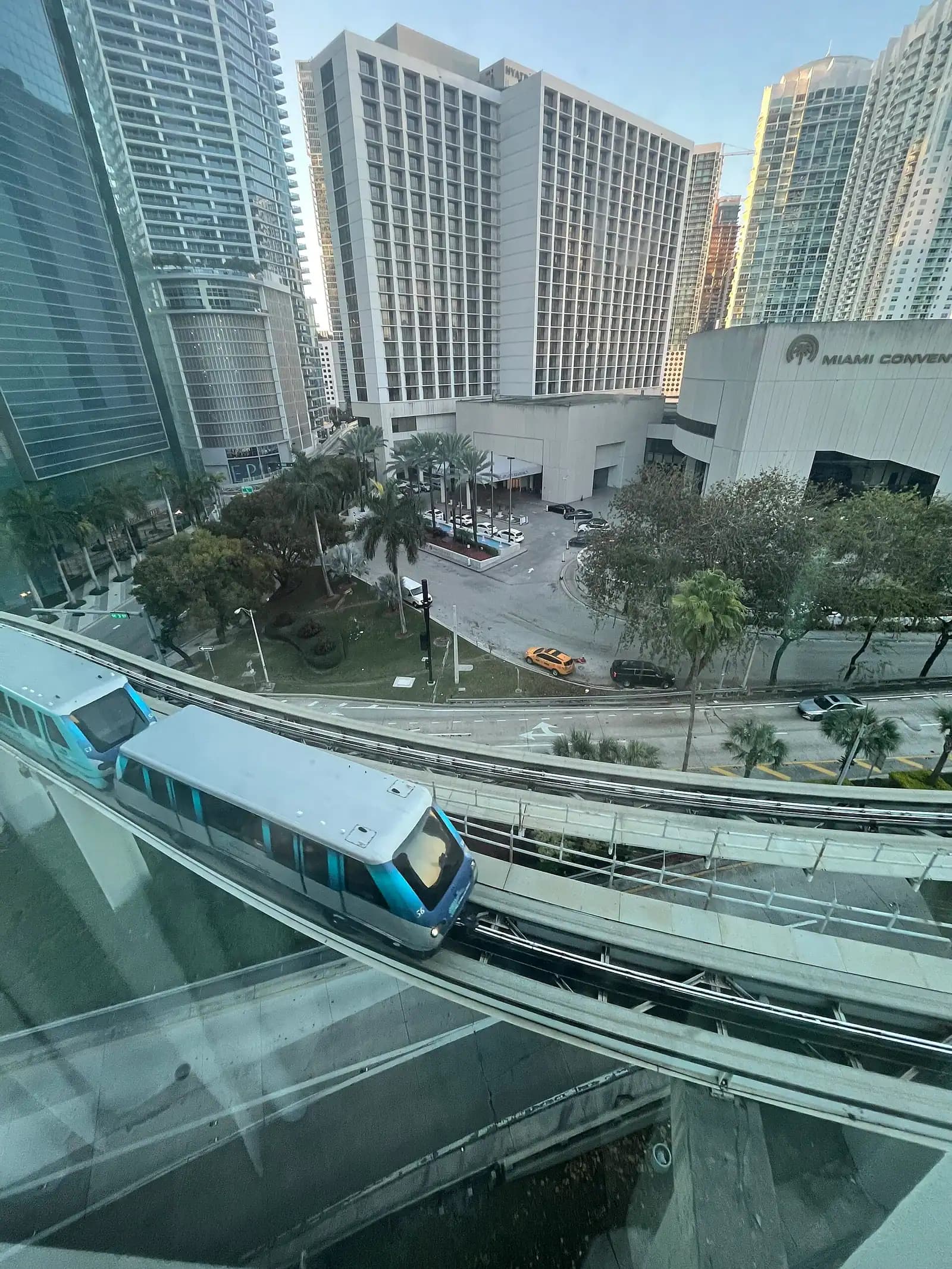
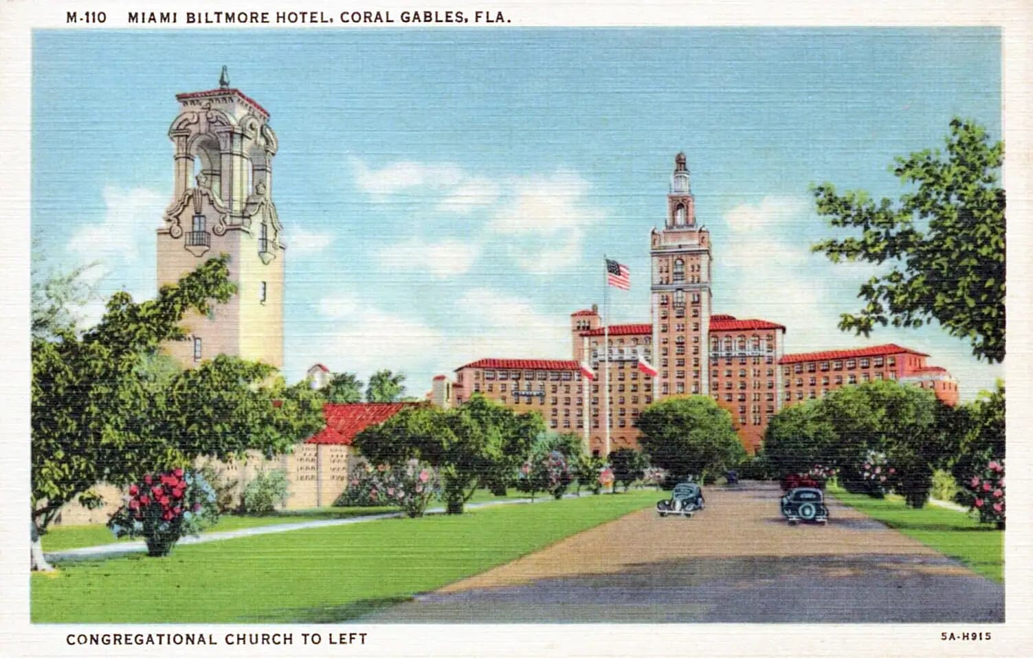
The third thing to absorb is distance. These neighbourhoods are not a walkable sequence. Little Havana to Wynwood is about four miles. Wynwood to the Design District is a mile, but there is an interstate between them. Brickell to Coconut Grove is four miles down South Bayshore Drive, Coral Gables is seven miles southwest of downtown, and Key Biscayne is a twenty-minute drive across a toll causeway. Each neighbourhood is walkable once you are in it. Getting between them is a car, a rideshare, or the free Metromover if both ends happen to be downtown.
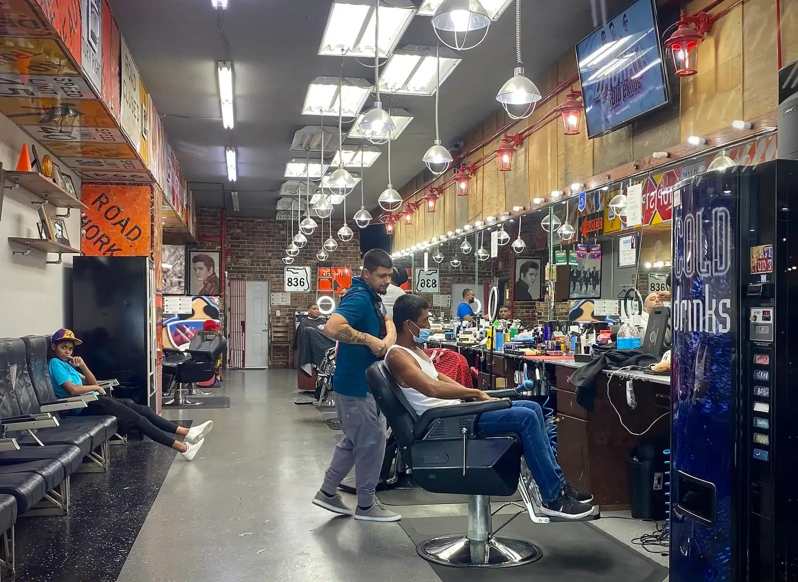
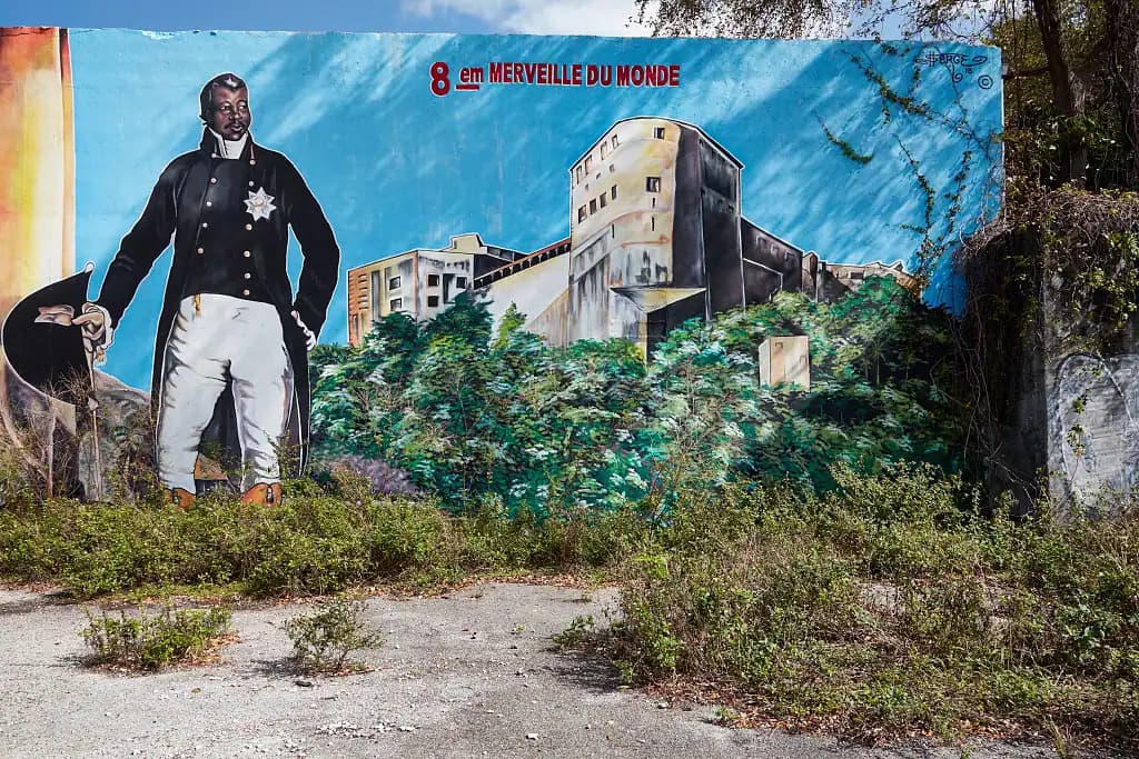
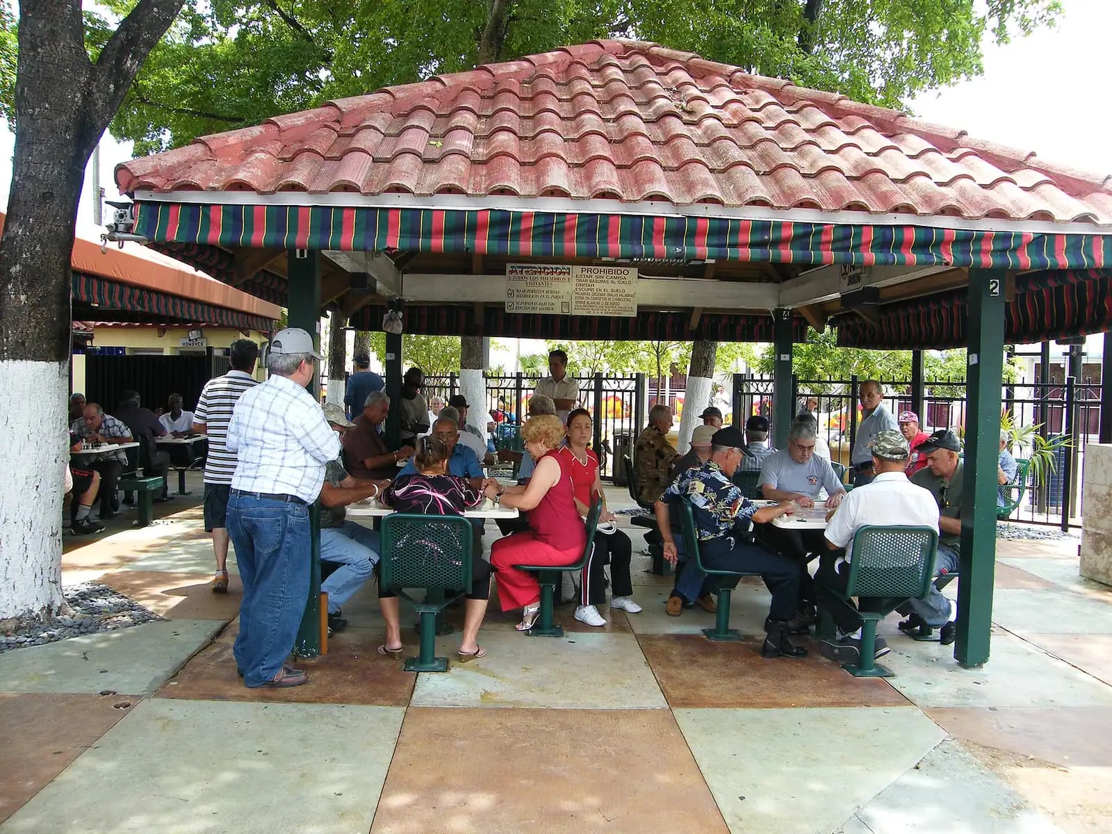
Last, and least often said in print: these are places where people live. Little Havana is a working Cuban-American neighbourhood that is now also Nicaraguan, Honduran and Dominican. Little Haiti carries the largest Haitian community in the United States and sits on some of the highest ground in the city, which has made it a target for developers in a way residents describe with the phrase climate gentrification. Overtown was the centre of Black Miami until I-95 was driven through it in the 1960s. Wynwood's rents have moved further in fifteen years than most cities manage in fifty. You are welcome in all of them. The way to be a good visitor is to spend money at the counter rather than at the hotel, ask before photographing people, and treat a domino table as somebody's afternoon rather than as content.
What follows is the city the way residents describe it: by neighbourhood, with the distances between them stated honestly.