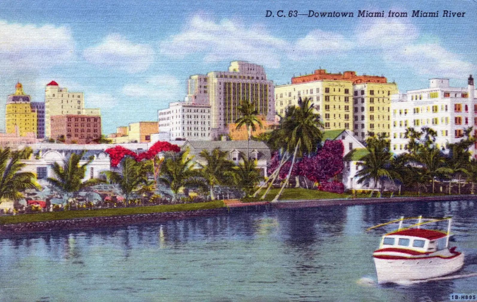
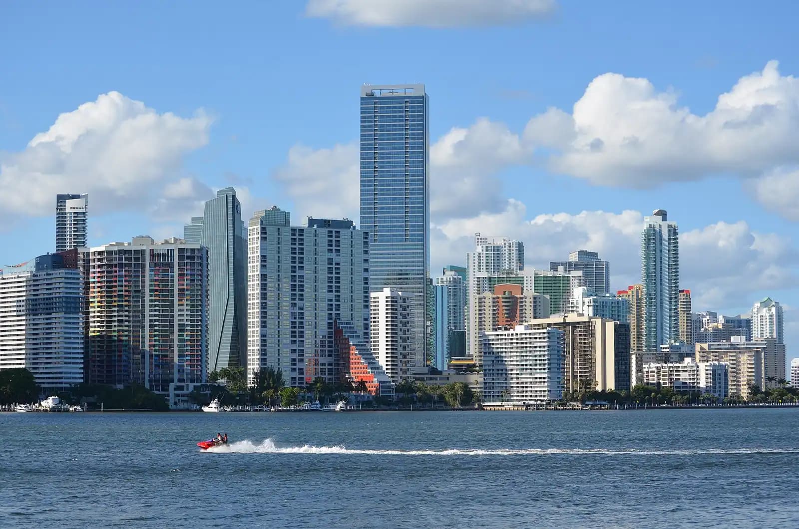
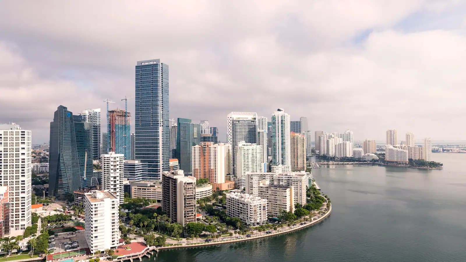
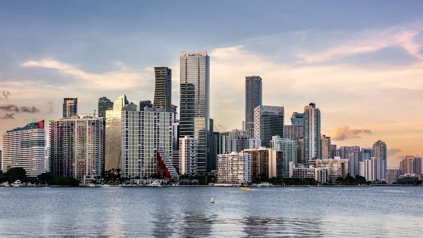
Miami exists because of a river, and almost no visitor walks along it. The Miami River is only about five and a half miles long. It rises inland — these days connected to the wider drainage system by canal rather than by its original Everglades headwater — and empties into Biscayne Bay between downtown and Brickell. At its mouth, the Tequesta lived for roughly two thousand years before European contact, which is as long as anyone has lived anywhere in this part of North America.
That is not an abstraction. In 1998, demolition work at Brickell Point, on the south bank at the river mouth, uncovered a circle about 38 feet across cut into the limestone bedrock: post holes and basins carved by the Tequesta. It is now a National Historic Landmark. The site sits in a small park below the condominium towers and, characteristically for Miami, it is understated to the point of being easy to miss.
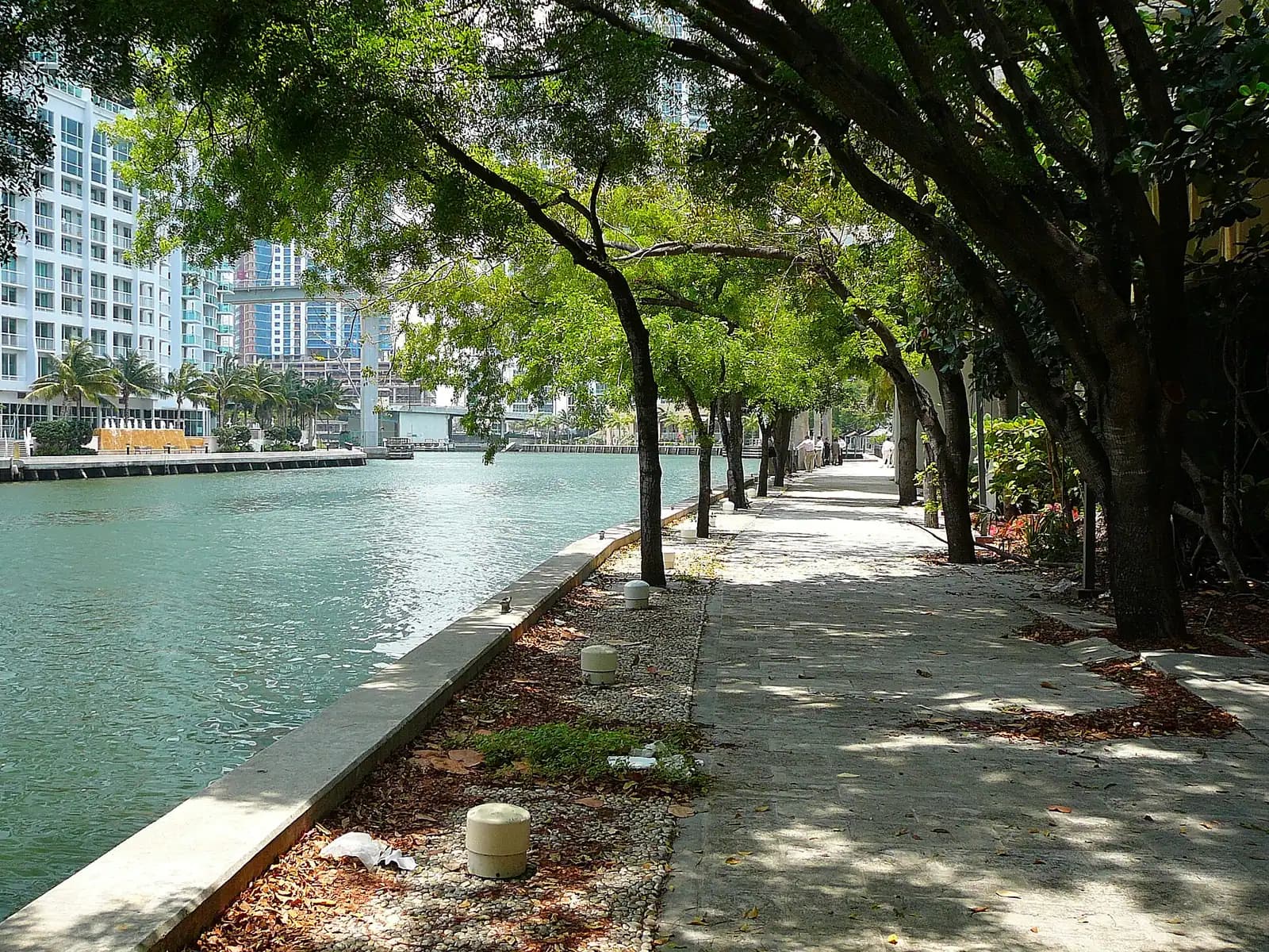
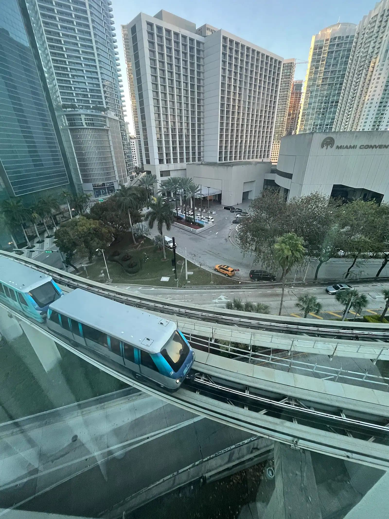
The Riverwalk is the pedestrian path along the north bank through downtown, and it is the best short urban walk in the city. From roughly the bay end near Bayside and the Hyatt, it runs upriver beneath the bridges — the Brickell Avenue bascule with its column topped by a bronze Tequesta family, the South Miami Avenue bridge, the Metrorail crossing — past hotel terraces, boatyards and moored working vessels.
Be warned that it is not continuous. Sections have been blocked for years by private development, and the greenway on the south bank is still incomplete. You will walk a stretch, be pushed up to the street, and pick it up again. Locals have complained about this for two decades.
What makes it worth doing anyway is that this is a working river. Small freighters load here for Haiti, the Bahamas and the Caribbean, stacked with cars, bicycles and household goods. Boatyards haul yachts. Bridges open for traffic. It is the least curated thing downtown.