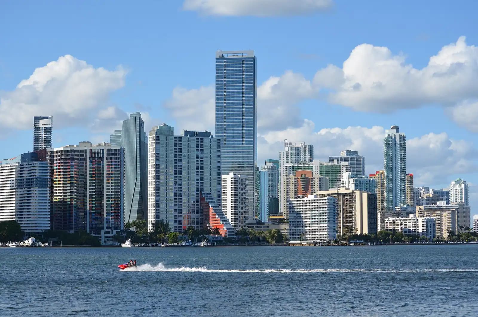
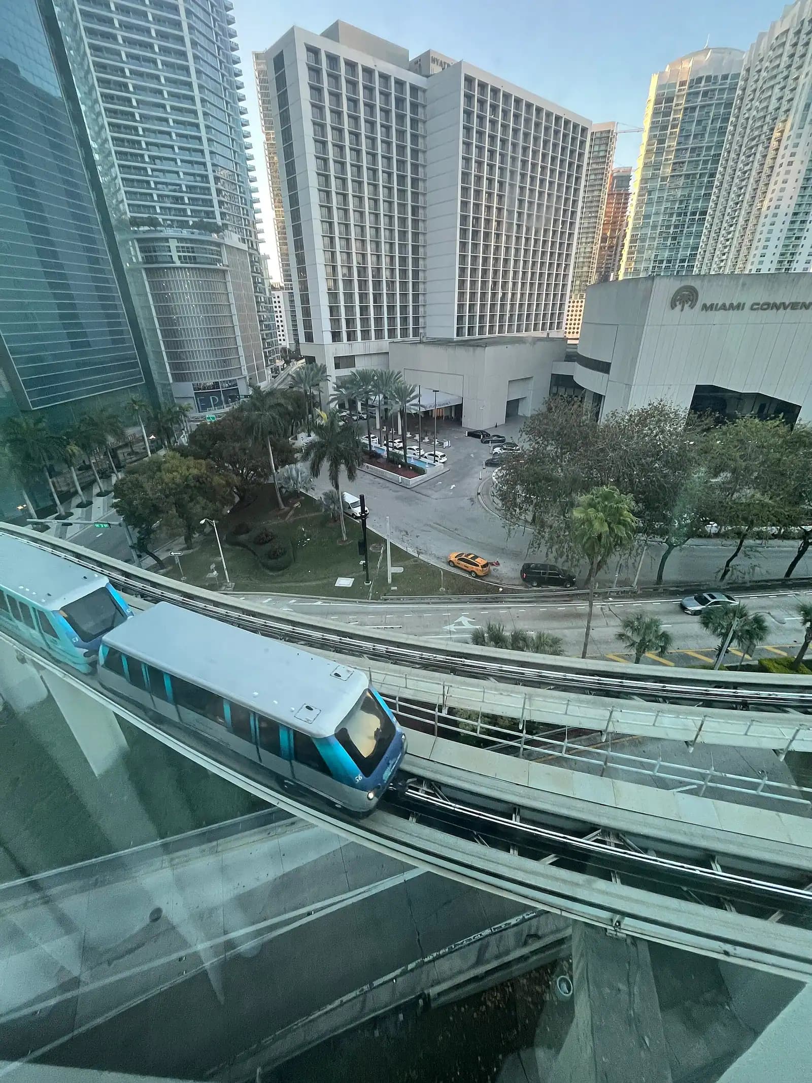
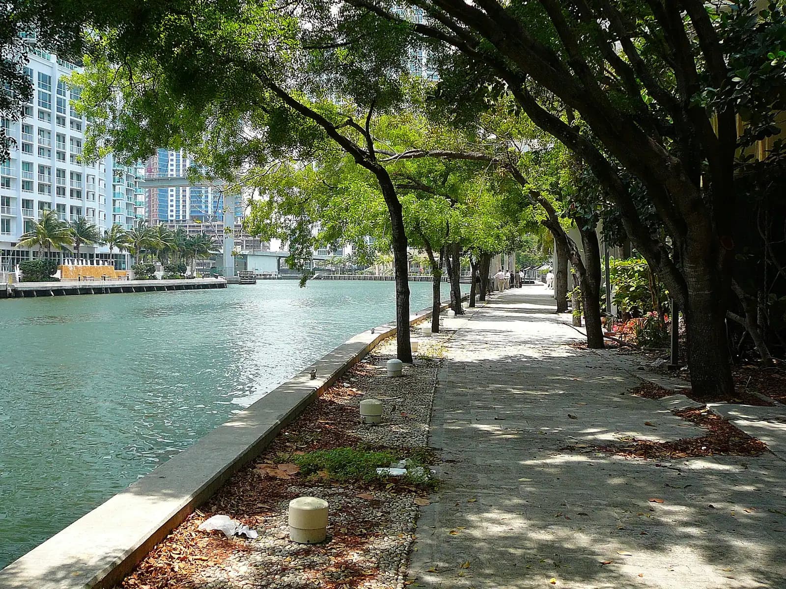
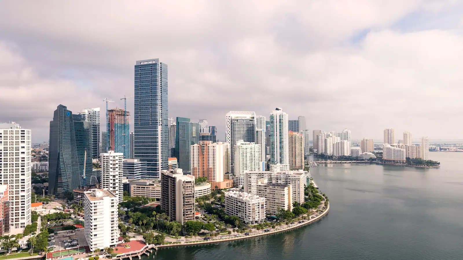
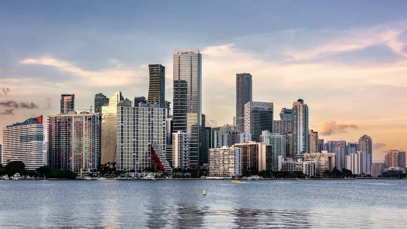
Brickell begins where the Miami River meets Biscayne Bay and runs south for about a mile, and it is the part of Miami that behaves most like a city. Towers on a tight grid, shaded pavements under the Metromover track, restaurants at street level, people walking to work. In a metropolitan area built almost entirely around the car, this is the exception, and for a visitor without one it is the easiest neighbourhood in the region to use.
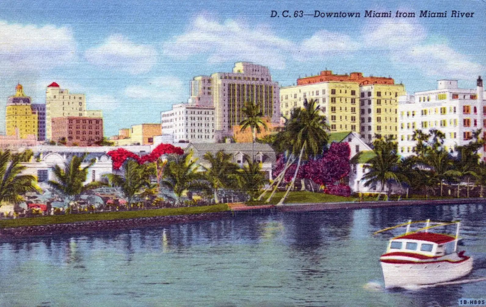
The name comes from William and Mary Brickell, who ran a trading post at the mouth of the river in the nineteenth century when this was the far edge of settlement. Their Brickell Avenue became Millionaires' Row, a line of bayfront mansions; those are gone, replaced from the 1980s onward by banking towers and then, overwhelmingly, by residential high-rises. The population density here is now among the highest in Florida, which is why the streets have life in them at eight in the evening while much of Miami has gone quiet.
The single most interesting thing in Brickell is also the least visited. On the south bank at the river mouth, beneath the towers, sits the Miami Circle: a ring of holes cut into the limestone bedrock, uncovered in 1998 during demolition for a condominium and attributed to the Tequesta, the people who lived at this river mouth for something like two thousand years before Europeans arrived. The site was saved after a public campaign, is now a National Historic Landmark, and is presented as a plain grassy park most people walk past without looking at.
Above ground, Brickell City Centre is the district's landmark: three blocks of open-air retail under the Climate Ribbon, a 340-metre glazed canopy that channels the sea breeze and keeps rain off without air-conditioning the street. Mary Brickell Village a few blocks west is the older, scruffier, more useful eating and drinking cluster.
Ride the free Metromover loop. It is the best tour in Miami and it costs nothing.