Skip to content
Search
Menu

We earn a commission if you book through this link. You pay the same price.

A large cruise ship passing close to a shoreline park along a narrow shipping channel
David Berkowitz from New York, NY, USA

Park

South Pointe Park

Last updated

The southern full stop of Miami Beach, where a shipping channel runs so close that cruise ships pass within a stone's throw.

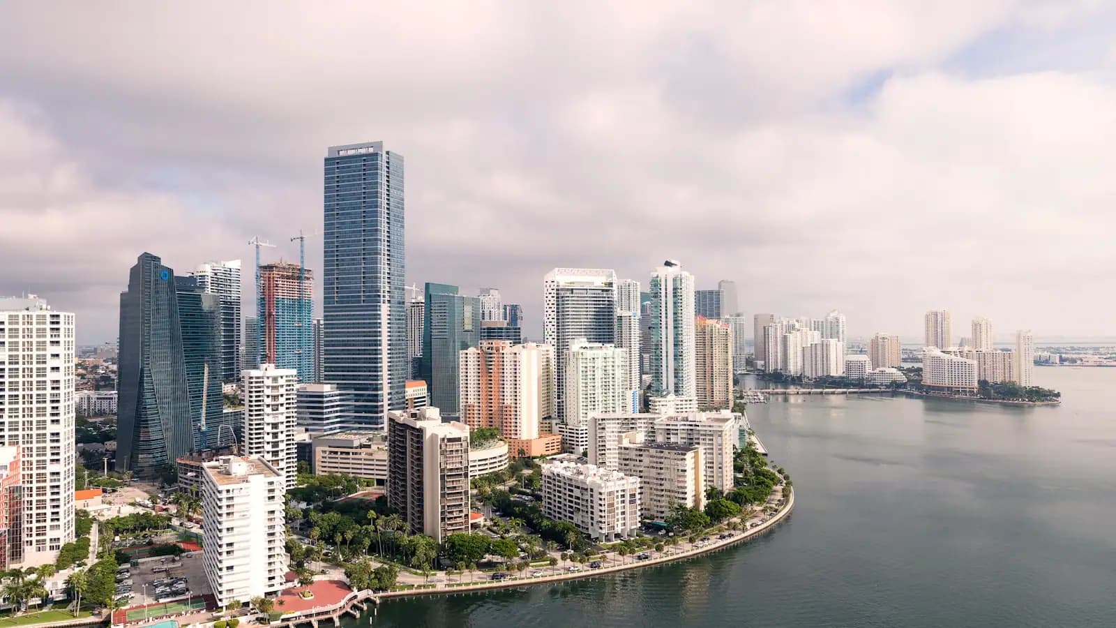
Of all the places in this guide, South Pointe is the one that explains the rest. Walk to the end of the pier and the shape of Greater Miami arranges itself around you: a mainland city of towers to the west, a barrier island under your feet, open Atlantic to the east, and between them a slot of green water carrying every ship that serves the port.

That slot is Government Cut, opened in 1905 so deep-draught vessels could reach the Port of Miami head-on rather than working their way around the island. Cutting it severed the southern tip of the beach; the severed piece became Fisher Island, which still has no bridge, runs a car ferry, and holds one of the highest household incomes recorded anywhere in the country.

The channel hugs the park, so the traffic passes at close quarters — liners, boxships, pilot launches, sometimes a grey hull from the Navy. Nobody charges for it and nothing else free in the county competes.

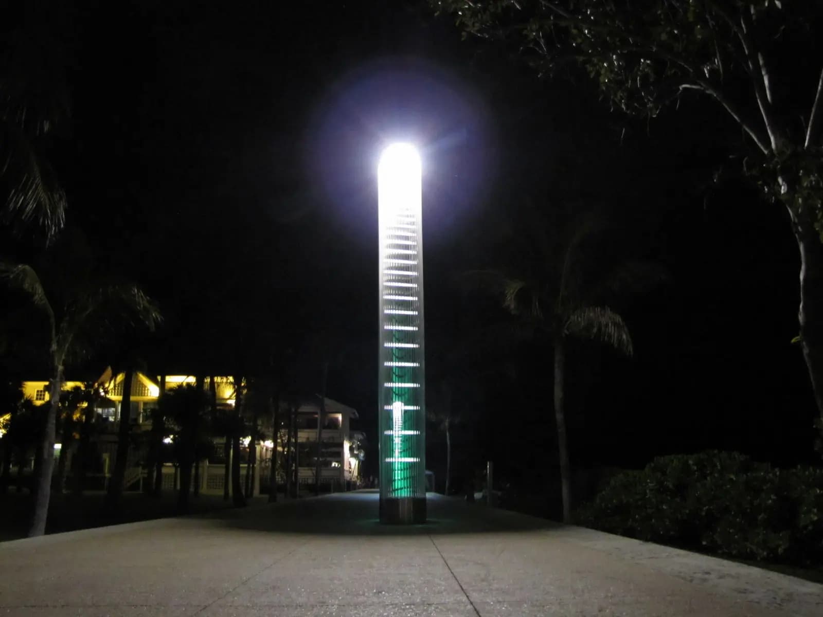
The park is seventeen acres, rebuilt and reopened in 2009 to a landscape design that curves where the island's street grid insists on straight lines: limestone outcrops, sea grape and palm, lookouts raised just enough to put both the ocean and the bay in one view, and a working navigational light doing double duty as sculpture. The pier runs several hundred feet out along the channel, with anglers at the rail and everyone else facing the other way, at the skyline.

Inland from the park is South of Fifth, SoFi to the people who live in it: the low-rise, expensive, notably quiet bottom end of South Beach, where the deco blocks give out and the restaurant count per street climbs.

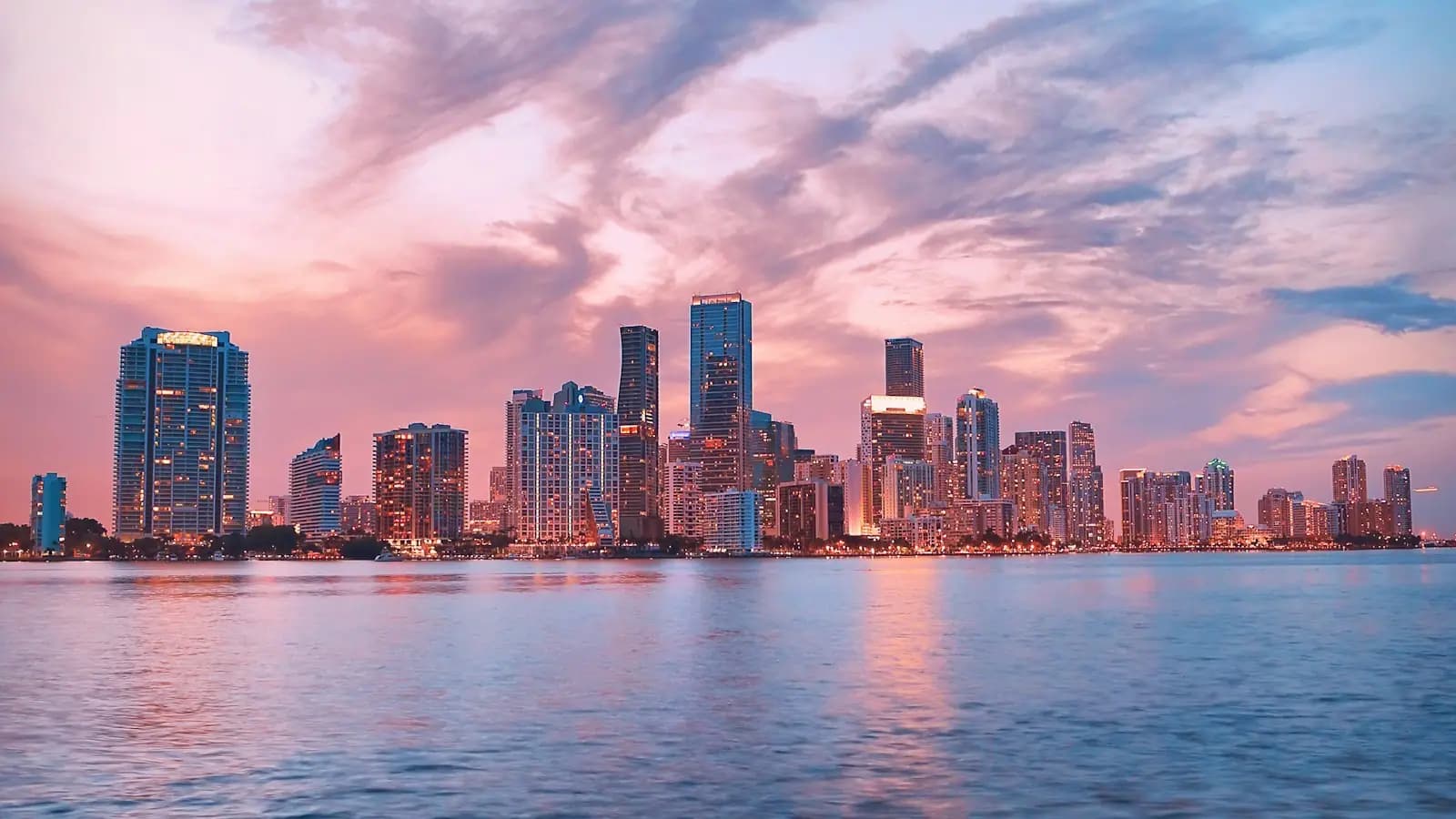
And the correction that saves a lot of confusion later. This is Miami Beach, a separate municipality on its own island. The skyline you came here to photograph belongs to the other city, across the bay.
Getting there and parking

The park occupies the last few hundred metres of Miami Beach, at the point where Washington Avenue and Ocean Drive both give up and the island ends.

Coming from the mainland you cross on I-395, the MacArthur, heading east past Watson Island; once on the island turn south on either Alton Road or Washington Avenue and stay on it to the end. Clear roads make that a fifteen-minute drive from downtown. Rush hour does not, and neither does a cruise turnaround morning, when port traffic queues back onto the causeway itself.

Parking is metered kerbside and seriously enforced, with municipal garages a few blocks north through South of Fifth. On a weekend afternoon, drive straight to a garage rather than circling.

By bus from downtown, routes 120 and 119 run over the causeway and take roughly 25 minutes. Once you are on the island, the free Miami Beach trolley and the South Beach Local both reach the neighbourhood, and rideshare is plentiful.

Watching the port work

PortMiami puts more than eight million cruise passengers a year through this channel, a volume only Port Canaveral up the coast has matched. An hour on the pier gets you the industrial side of a city better known for its beaches.

Sailings are the main event. They stack up late in the day, and on a winter weekend the port empties several berths in succession, each vessel creeping out under a pilot with tugs standing by. From the pier or the jetty rocks the hull is roughly a hundred metres away and fills your field of view.

Inbound ships run on the opposite clock — most are tied up by seven in the morning, which is quieter, cooler and better lit than anything the afternoon offers.

In the gaps, cargo vessels, charter sportfishers and the pilot launches keep the water busy all day. The launches are the ones to watch: they run alongside a moving ship so a pilot can climb across, in whatever the weather is doing.

Check what is sailing before you leave the hotel. The port publishes which ships are in port and when they cast off, and thirty seconds with that list is the difference between a procession and an empty channel.

The channel also built the sandbank on its northern side, and that sandbank makes the most dependable surf break in Miami-Dade. Winter groundswells bring a crowd. The current that runs beside the rocks is the flip side of the same geography, and it is why swimming there is a poor idea.

What is in the park

  • The pier, running out along the channel with bait stations, seating and the best angle on both the ships and the skyline. Open to the public, free, and busy at sunset.
  • The beach, at the park's northern edge, where the Miami Beach sand begins. Lifeguarded in season. Watch the currents near the jetty — the channel pulls hard and swimming close to the rocks is a bad idea.
  • A playground and splash pad, where the jets fire when a child runs at them and the climbing equipment sits under shade. On a July afternoon it buys you an hour nothing else in the county will.
  • Curving paths and raised lookouts through limestone, sea grape and palm, climbing just enough to put the Atlantic on one side and Biscayne Bay on the other.
  • A dog park, heavily used and properly maintained.
  • Grills and picnic tables along the bay edge.
  • A café in the park, and a few minutes' walk behind it the South of Fifth restaurants: several of Florida's priciest dining rooms and a couple of Cuban counters where lunch costs a small fraction of that.

Paths and pier stay lit, and the evening crowd is runners, dog walkers and families, so this end of the island is an easier night-time walk than the beachfront ten blocks north.

South of Fifth, and how this end of the island differs

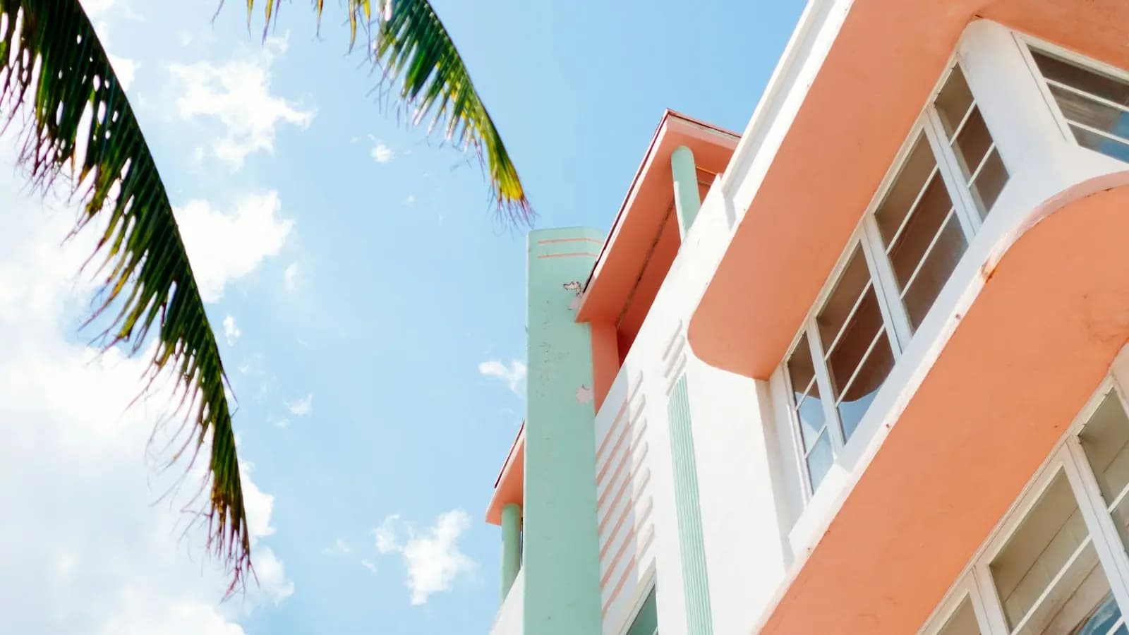
Fifth Street works as a border. Above it stands the Art Deco Historic District, something like 800 preserved buildings of the 1920s, 1930s and 1940s — the densest concentration of the style anywhere — filling Ocean Drive, Collins and Washington. Below it the buildings turn modern and residential, the pavement quietens, and the restaurants per block multiply.

Which makes South Pointe the sedate end of a loud island. Eat properly, walk the pier, lie on grass, and stay ten minutes from Ocean Drive for whenever you want the volume back.

The geography at this tip plays a trick on people. Downtown and the cruise terminals sit straight across the water, a few hundred metres off, and there is no way to drive to them from here. The car route doubles back up to 5th Street, crosses west on the MacArthur past Watson Island, and enters the city from the north — a quarter of an hour when the causeway is clear, a good deal longer when it is not. By water you are closer to downtown than almost anywhere else on the beach; by road you are further.

Arriving without a car is simple. The South Beach Local circulates through the neighbourhood, the Miami Beach trolley costs nothing, and rideshare picks up easily on streets this quiet. Drive instead and you get metered kerbside parking, enforced without mercy, with two municipal garages north of here as the sensible fallback.

Tours that visit South Pointe

Operators run these trips past South Pointe, or stop there as part of a longer route. We list what the booking data supports — not everything that mentions the name.

Some links below go to Viator, our booking partner. We earn a commission on bookings made through them — at no extra cost to you, and with no influence on what we recommend.

Private and small-group departurespriced per boat or per vehicle, not per person

Near South Pointe

Straight-line distances, so allow more on the road — the island is long and has one main parkway.

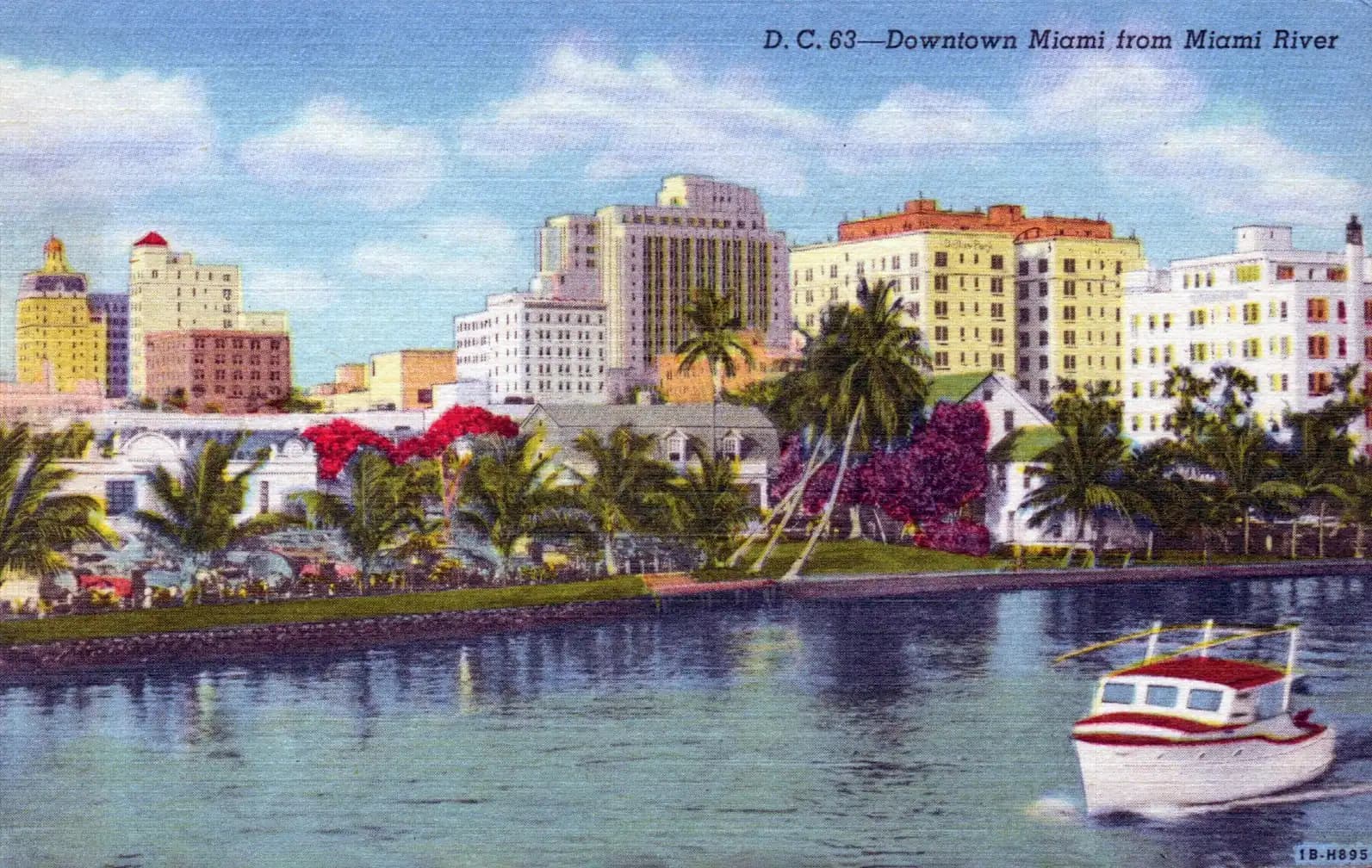
  • A dense cluster of downtown towers seen across water at the end of the day
    Free

    Neighbourhood

    Downtown Miami

    The original Miami: a railway terminus that became a city in 1896, now a downtown of towers, museums and a free elevated railway.

    3–8 hoursFree to walk, and the Metromover that connects it costs nothing. Museums, the Freedom Tower galleries, bay cruises and events are ticketed separately.3.8 mi away

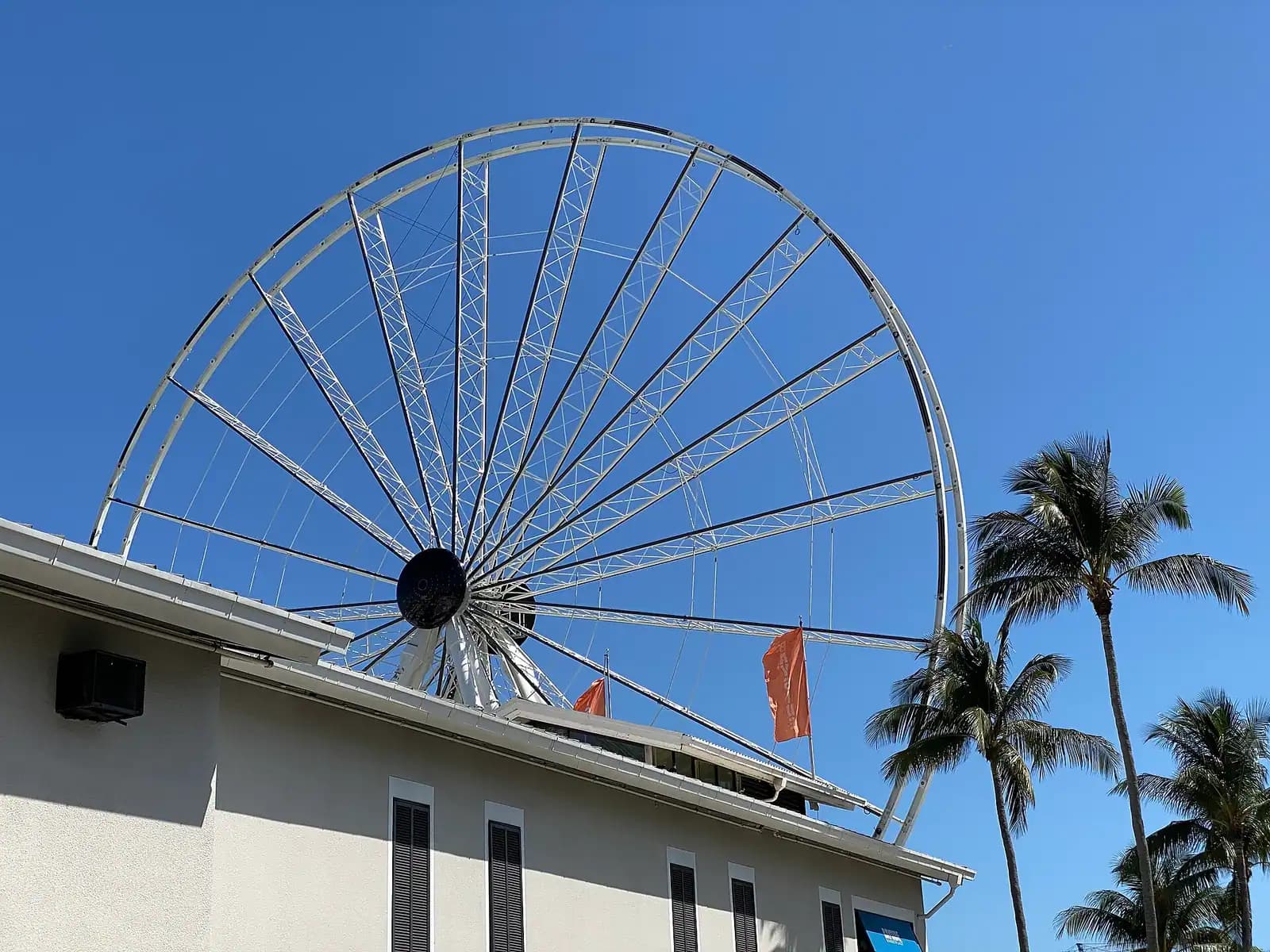
  • Boats moored at a downtown marina with a city skyline of towers rising behind
    Free

    Shopping

    Bayside Marketplace

    Downtown Miami's bayfront mall, best understood as the dock most Biscayne Bay cruises leave from rather than as somewhere to shop.

    1–3 hoursFree to enter and to walk the waterfront. Boat trips, the Skyviews observation wheel and Bayfront Park concerts are each ticketed separately.3.4 mi away

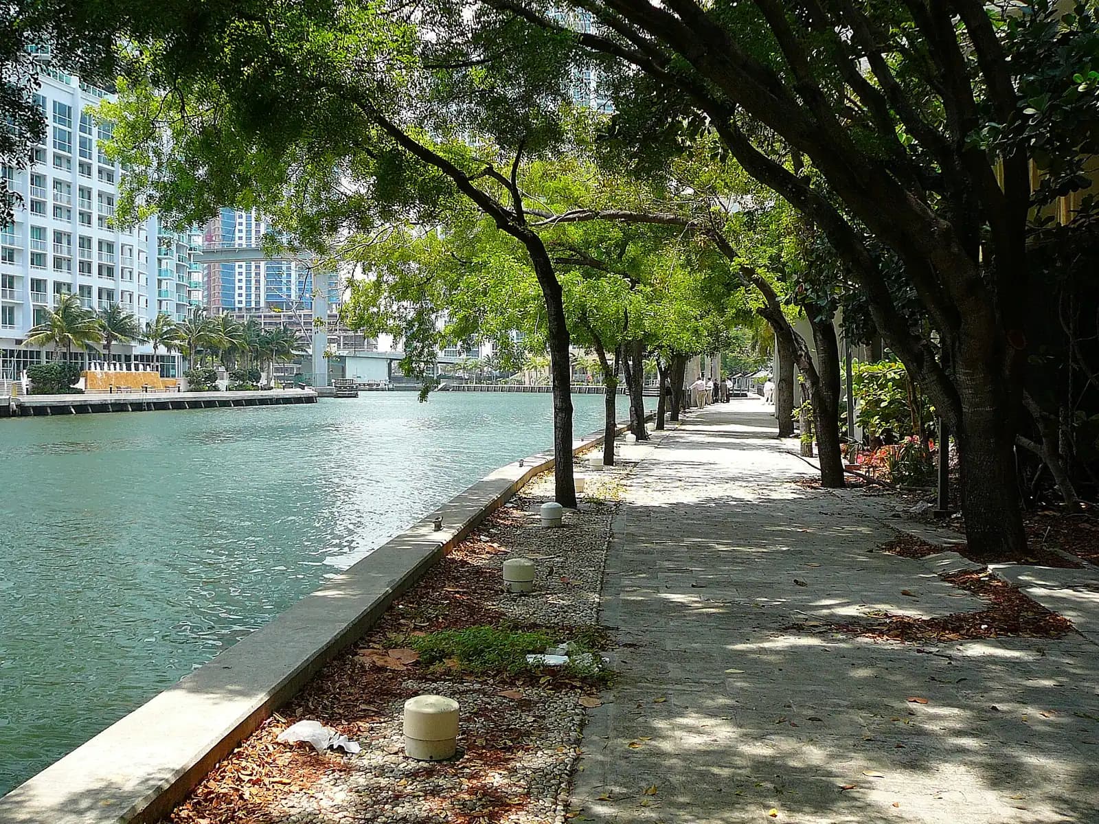
  • A narrow urban river running between city towers with a drawbridge crossing it
    Free

    Trail

    Miami Riverwalk

    The short, busy, unglamorous river Miami was built on — freighters, drawbridges and a 2,000-year-old circle cut into the bedrock.

    1–2.5 hoursFree. The Riverwalk and the Miami Circle site are both public and open to the street.3.8 mi away

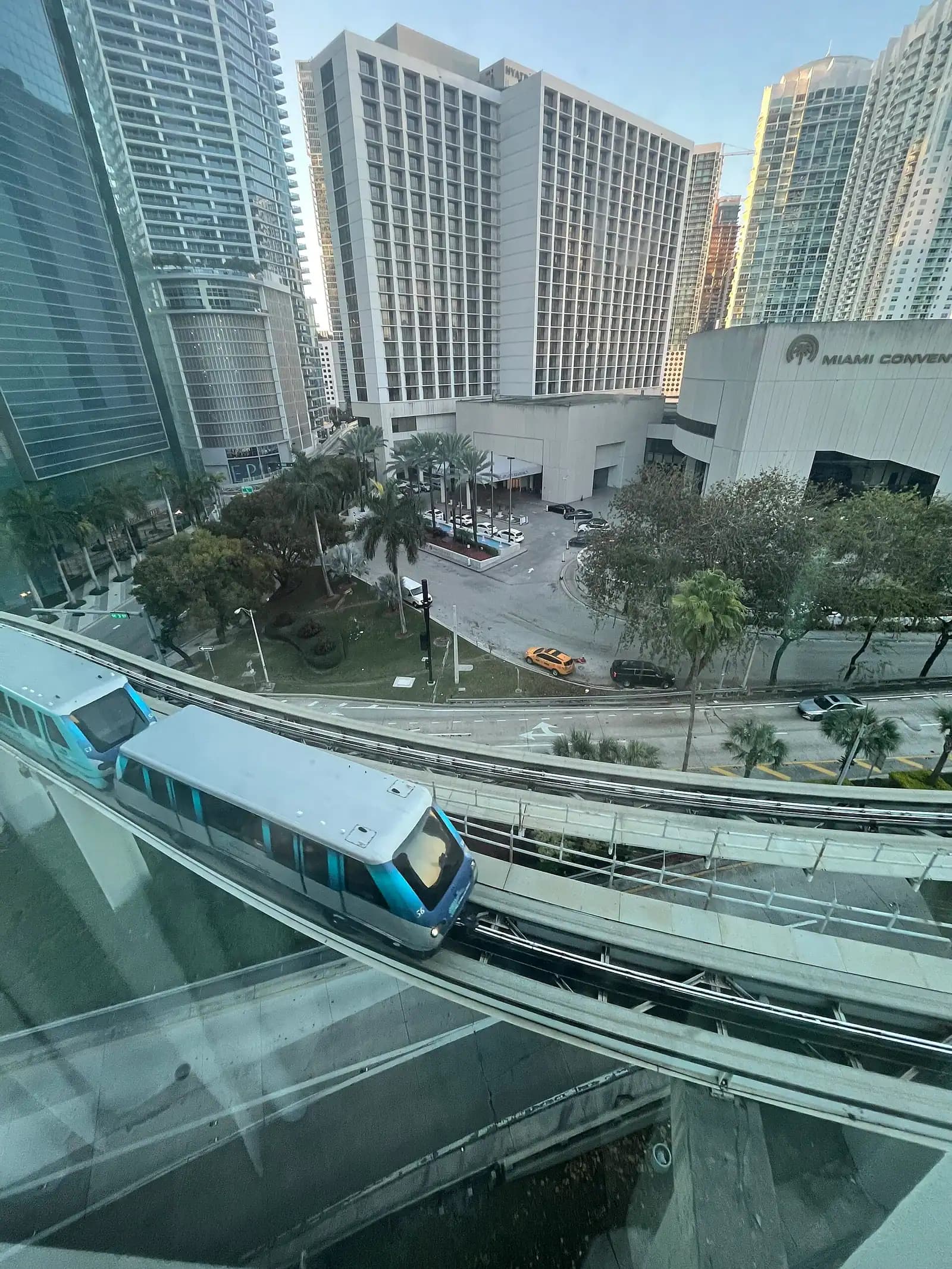
  • A small elevated train running on a raised concrete guideway between city office towers
    Free

    Landmark

    Metromover

    Free, driverless and elevated: 21 stations and the cheapest skyline tour in Miami, provided you know which loop you are on.

    0.5–1.5 hoursFree. No ticket, no tap, no fare gates — the entire system is free to ride at all times.4.1 mi away

South Pointe: common questions

Can you watch cruise ships leave from South Pointe Park?

Yes, and nothing else free in the county comes close. Government Cut, the channel serving PortMiami, runs along the park's southern edge, which puts passing vessels around a hundred metres from the pier rail. Sailings bunch up late in the day, and on a winter weekend the port clears several berths one after another. Look up the port's own list of ships and sailing times first and you can walk down to meet one.

Is South Pointe Park in Miami or Miami Beach?

Miami Beach, and the distinction matters for planning. The park is at the bottom of the barrier island, in South of Fifth, and the towers you can see over the water belong to the City of Miami on the mainland. Nothing bridges the gap at this end; the drive doubles back up to 5th Street and crosses on the MacArthur, which takes about a quarter of an hour when traffic allows.

Is South Pointe Park free?

Yes. The park, the pier, the beach access, the splash pad, the playground and the dog park all cost nothing. The only expense is parking, which in South of Fifth is metered, strictly enforced and expensive — the municipal garages a few blocks north are usually the cheaper option. The free Miami Beach trolley and the South Beach Local bus both serve the neighbourhood.

Can you swim at South Pointe Park?

At the beach on the park's northern edge, yes, with lifeguards during posted hours. Do not swim close to the jetty or the channel. Government Cut is a working shipping lane with strong tidal current running through it, and the water near the rocks moves faster than it looks. The same feature makes the sandbank here one of the few genuine surf spots in Miami-Dade on a groundswell.